

Journal of Geoscience and Earth Observation | Volume 1, Issue 2: 113-136, 2026 | DOI: 10.62762/JGEO.2026.947858
Abstract
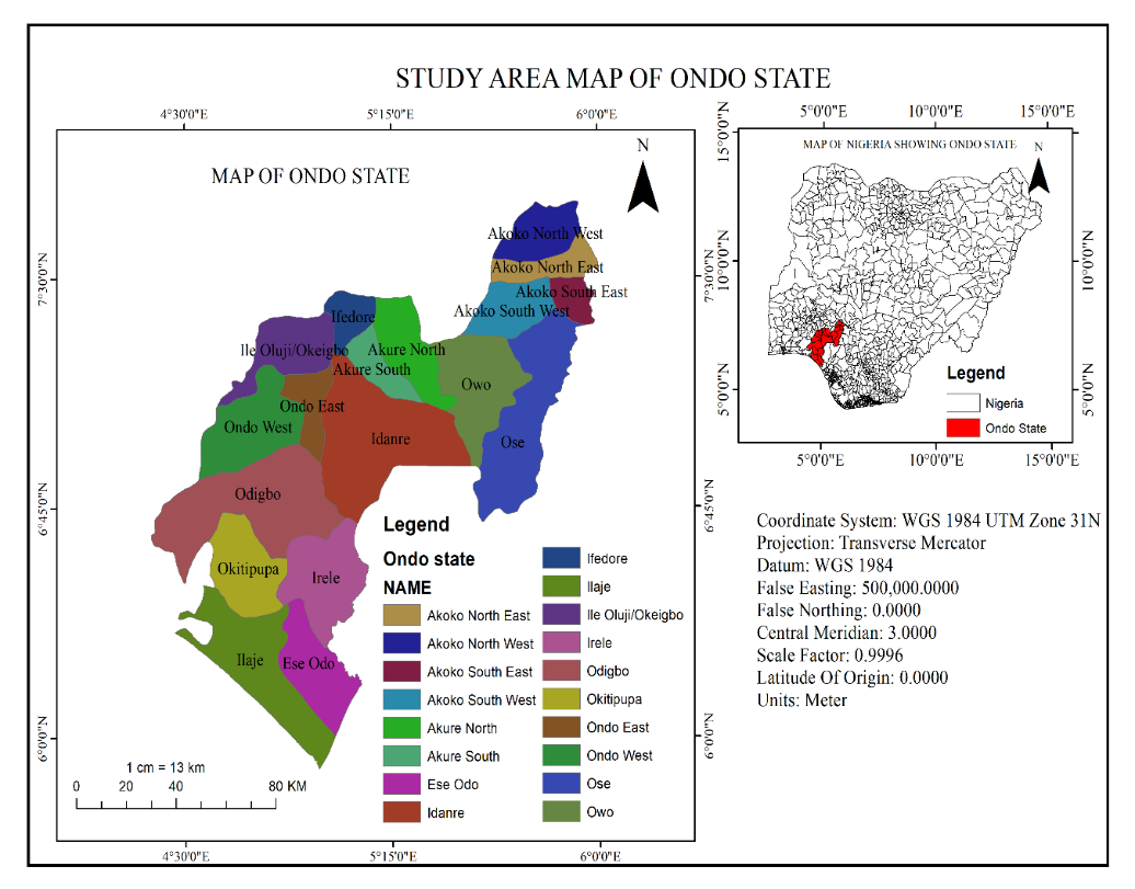
Agriculture plays a vital role in Nigeria’s food security and economy, yet crop productivity depends heavily on land suitability. This study assessed the suitability of land for arable crops in Ondo State using Geographic Information System (GIS) and Multi-Criteria Evaluation (MCE) techniques. Nineteen (19) parameters, including soil, hydrogeomorphological, climatic, land-use/land-cover, and socioeconomic factors, were integrated. Datasets were obtained from sources such as Sentinel-2 Dynamic World, SRTM DEM, MODIS temperature, CHRS rainfall, ISRIC soils, and OpenStreetMap. The criteria were normalised, reclassified, and weighted using the Analytic Hierarchy Process (AHP). Weighted overlay... More >
Graphical Abstract